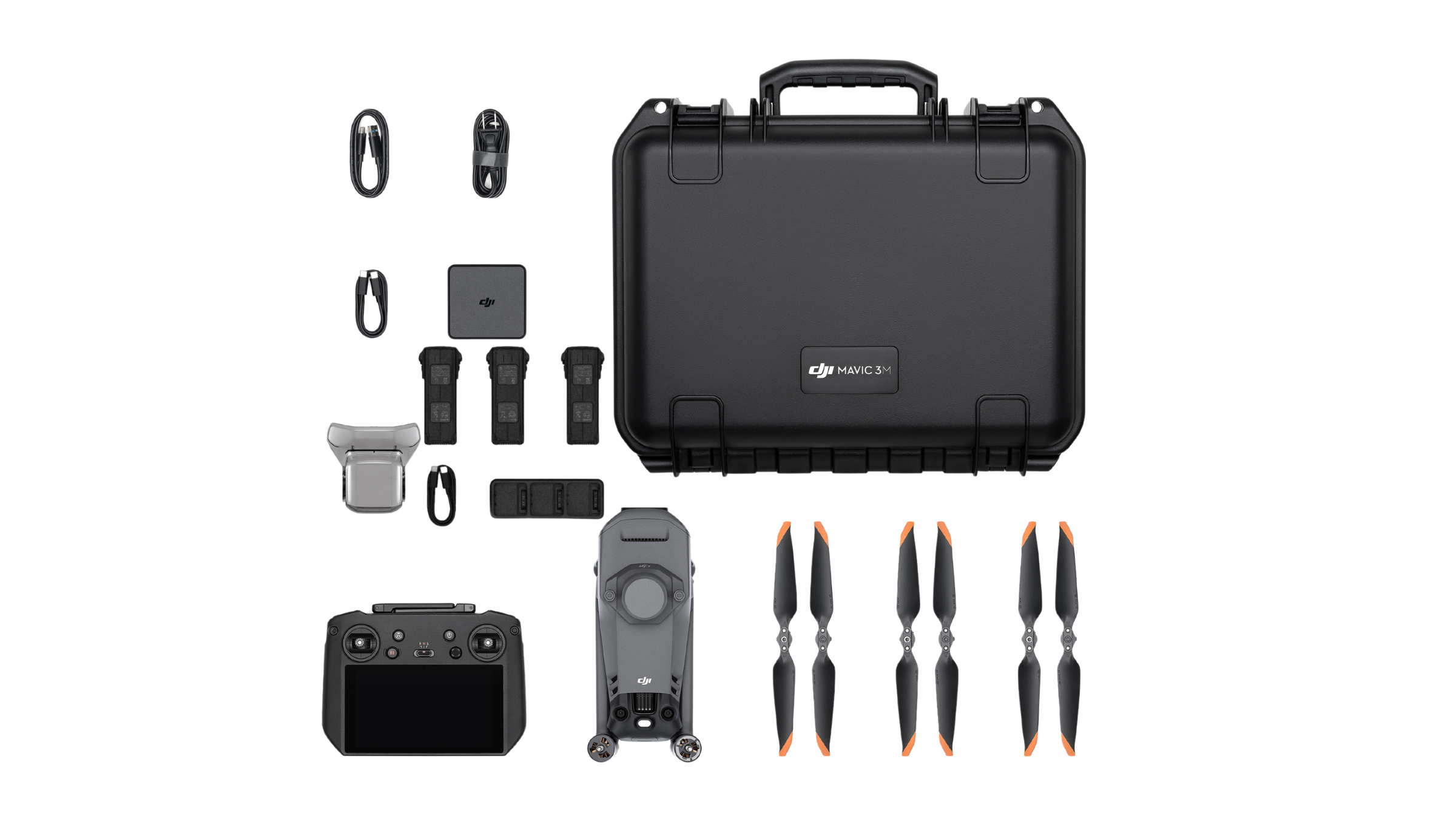
DJI MAVIC 3 MULTISPECTRAL
Your trusted DJI Agriculture Distributor
DJI MAVIC 3M
Your trusted DJI Agriculture Distributor
MAVIC 3M FEATURES
The M3M combines an RGB camera with multispectral cameras to scan and analyze agriculture mapping missions with total clarity. These cameras enable high precision aerial surveying, crop growth monitoring, and variable rate spray missions.
MAVIC 3M FEATURES
The M3M combines an RGB camera with multispectral cameras to scan and analyze agriculture mapping missions with total clarity. These cameras enable high precision aerial surveying, crop growth monitoring, and variable rate spray missions.
Compact and portable
Foldable for easy storage
Multispectral Camera
4 × 5MP
G/R/RE/NIR
Efficient aerial surveying
Up to 100 acres of surveying per flight.
Safe and stable
Omnidirectional Obstacle Avoidance
9.3 miles Transmission Distance
Precise positioning
Centimeter-level RTK positioning
Microsecond-level time synchronization
RGB camera
20 MP
4/3 CMOS, mechanical shutter
Multispectral + RGB imaging system
Newly upgraded imaging system with one 20MP RGB camera and four 5MP multispectral cameras (green, red, red edge, and near infrared). Enables applications such as high-precision aerial surveying, crop growth monitoring, and natural resource surveys.
5 MP Multispectral Camera
The multispectral camera system includes four 5MP cameras that capture images in specific spectral bands: Green (560 nm ± 16 nm), Red (650 nm ± 16 nm), Red Edge (730 nm ± 16 nm), and Near-infrared (860 nm ± 26 nm). This configuration, along with a light sensor, ensures more accurate NDVI measurements for precision agriculture.
The multispectral camera system includes four 5MP cameras that capture images in specific spectral bands: Green (560 nm ± 16 nm), Red (650 nm ± 16 nm), Red Edge (730 nm ± 16 nm), and Near-infrared (860 nm ± 26 nm). This configuration, along with a light sensor, ensures more accurate NDVI measurements for precision agriculture.
Sunlight Sensor
Newly upgraded imaging system with one 20MP RGB camera and four 5MP multispectral cameras (green, red, red edge, and near infrared). Enables applications such as high-precision aerial surveying, crop growth monitoring, and natural resource surveys.
RTK Module
Accurate images that capture every pixel
The Mavic 3M, equipped with an RTK module, offers centimeter-level positioning for highly accurate aerial surveys. The flight control, camera, and RTK module synchronize within microseconds to precisely capture the location of the camera’s imaging center. This advanced synchronization allows the Mavic 3M to perform high-precision surveys without the need for ground control points.
Efficient and reliable battery life
The DJI Mavic 3M boasts an impressive 43-minute flight time, enabling efficient aerial surveying of up to 100 acres per flight. Its 100W Battery Charging Hub and 88W fast charging ensure quick turnaround times between flights. The Mavic 3M features stable image transmission with a range of up to 9 miles, ensuring consistent connectivity. Its advanced omnidirectional obstacle sensing system enhances safety by detecting hazards in all directions. Additionally, the terrain-following capability allows for smooth and precise aerial surveys over varied landscapes.
The DJI Mavic 3M boasts an impressive 43-minute flight time, enabling efficient aerial surveying of up to 100 acres per flight. Its 100W Battery Charging Hub and 88W fast charging ensure quick turnaround times between flights. The Mavic 3M features stable image transmission with a range of up to 9 miles, ensuring consistent connectivity. Its advanced omnidirectional obstacle sensing system enhances safety by detecting hazards in all directions. Additionally, the terrain-following capability allows for smooth and precise aerial surveys over varied landscapes.
Omnidirectional obstacle sensing, terrain-follow aerial surveying
The aircraft features multiple wide-FOV vision sensors that accurately detect obstacles in all directions for omnidirectional obstacle avoidance. The terrain-follow aerial surveying can be easily performed in steep-slope landscapes.
DJI mavic 3m Ready-to-Fly Bundle

Quote Request
Quote Request
Quote Request

